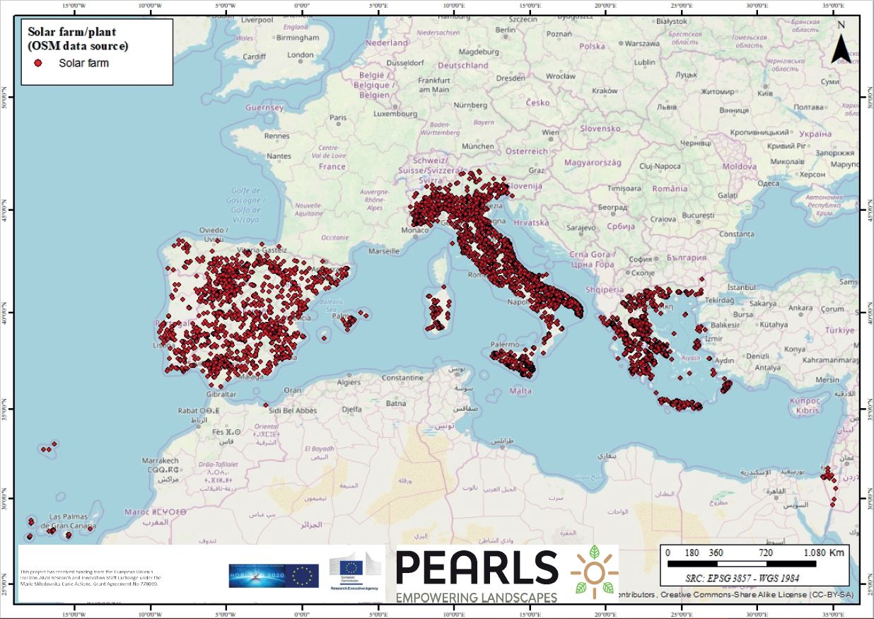
These cartographical tools present maps showing the exact ubication of each wind turbine and/or solar farm in every southern country and Israel involved in the PEARLS Project. At the same time, the spatial distribution of the density of these facilities is also provided by the different developed maps. Thus, the visual occupation of such facilities is easily perceivable in order to do studies about the suitability of the allocation of these REL and their visual impact.
Addressing target audiences and expressing needs
- To raise awareness and possibly influence policy
- Grants and Subsidies
- Other blended financing
- Collaboration
Tools which could be used by energy-policymakers when implementing REL in their countries. PEARLS is looking for widgets comparing best practices on these landscapes trying to analyse the reasons in the allocation of these plants to explain the high acceptance/rejection of these landscapes in each country in order to gather examples for excellent implemtnations or sollutions to the Pan European Energy Challenge. Accordingly, cooperation with other subjects involved such as energy cooperatives, local stakeholders, environmental associations, energy companies, etc, is being implemented.
- Public or private funding institutions
- EU and Member State Policy-makers
- International Organisations (ex. OECD, FAO, UN, etc.)
- Academia/ Universities
Result submitted to Horizon Results Platform by ARISTOTELIO PANEPISTIMIO THESSALONIKIS