Result description
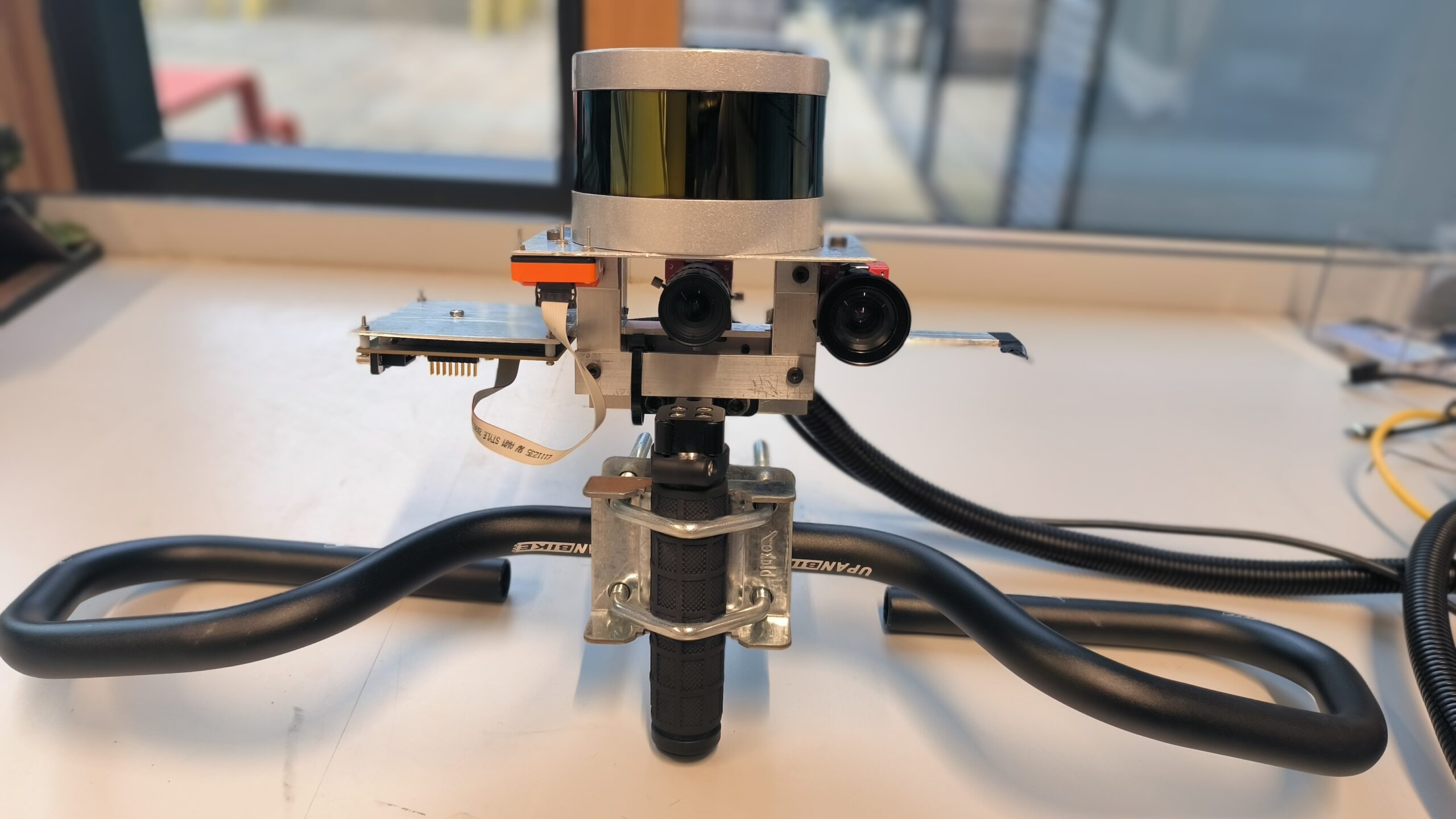
The Cost-Effective Multi-Sensor Scanner for Road Inspection, known as the Innovative Road Inspection System, comprises a LiDAR (Light Detection and Ranging), a color camera, a near-infrared camera, and an IMU (inertial measurement unit). By employing simultaneous localization and mapping (SLAM) software, the system seamlessly merges data from these sensors to generate a comprehensive 3D point cloud. This lightweight system can be effortlessly mounted on any survey vehicle, providing a solution that addresses the gap in cost-effective laser-camera scanners within the road inspection sector and other infrastructure inspection domains, including buildings, bridges, and dams.
Addressing target audiences and expressing needs
- Business partners – SMEs, Entrepreneurs, Large Corporations
- Collaboration
- Fellowship to advance my/our research
Target Audiences:
- Research and Technology Organizations: Explore the forefront of road inspection technology for groundbreaking research and advancements.
- Academic Universities: Elevate learning and research in civil engineering and transportation studies with hands-on experience using cutting-edge technology.
- Entrepreneurs and SMEs: Partner with us to bring this innovation to market, creating new business opportunities and contributing to the evolution of road infrastructure solutions.
- Large Corporations: Collaborate with us to integrate our system into existing operations, enhancing efficiency and accuracy in road asset management.
We seek collaborative partnerships to bring our Innovative Road Inspection System to a wider market. Whether you’re a small or large enterprise, join us in revolutionizing the road inspection landscape. Let’s explore how our system can complement your business objectives and contribute to mutual success.
- Other Actors who can help us fulfil our market potential
- Research and Technology Organisations
- Academia/ Universities
R&D, Technology and Innovation aspects
The ongoing development and testing of the solution are part of the OMICRON project. The University of Cambridge is committed to further refining the scanner, elevating its Technology Readiness Level (TRL), and ensuring its adaptability to diverse infrastructure markets.
The integration of the scanner with an inspection vehicle for data collection is seamless. Additionally, the scanner’s software stack is capable of processing and generating 3D point clouds, providing users with comprehensive data for examination.
- Global