Result description
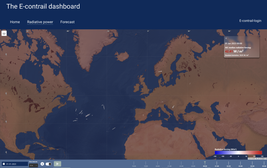
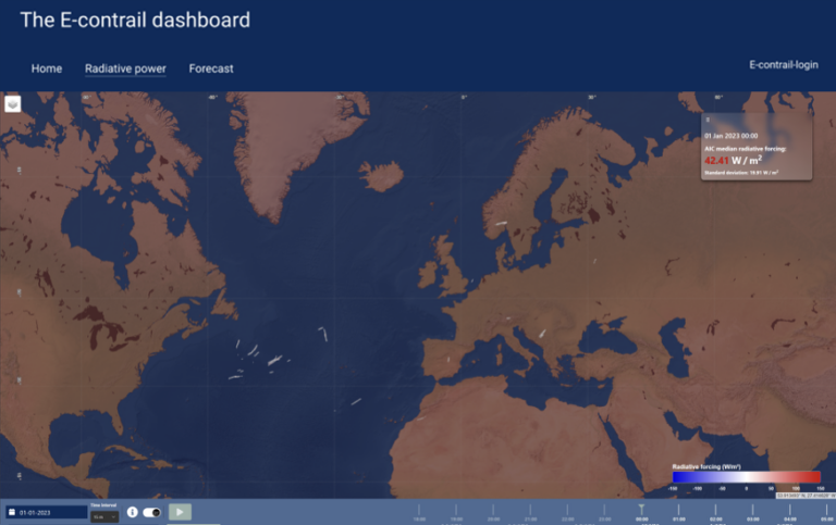
This solution provides an AI-driven models capable of: 1) quantifying the radiative forcing attributed to contrails leveraging satellite imagery on an historical time window (e.g., year 2023) and 2) predicting (up to 24 hours ahead of time) the volumes of airspace with conditions conducive to large global warming impacts due to contrails and aviation-induced cloudiness. The AI models, trained using historical data, including satellite observations, weather, and aerial traffic, offers, on the one hand, historical quantification of the climatic impact of contrails as detected from satellite images and, on the other, ahead of time predictions to help mitigate the environmental impact of aviation. A user-friendly visualization tool has been developed enabling regulatory bodies, flight dispatchers, airlines, Air Navigation Service Providers, and the Network Manager to better understand the climate impact associated to contrails and, thereby, manage flight paths and/or airspaces to reduce the environmental footprint of aviation.
Addressing target audiences and expressing needs
- Use of research Infrastructure
E-CONTRAIL serves as a crucial step towards incorporating climate impact mitigation into the ATM Master Plan, aligning with SESAR’s objectives for sustainable and efficient air traffic management. This solution focusses on two benefits : Environmental Sustainability (decreasing aviation’s climate impact) and Regulatory Compliance (environmental regulations and carbon footprint reduction).
- Research and Technology Organisations
- Academia/ Universities
R&D, Technology and Innovation aspects
E-CONTRAIL serves as a crucial step towards incorporating climate impact mitigation into the ATM Master Plan, aligning with SESAR’s objectives for sustainable and efficient air traffic management. This solution focusses on two benefits : Environmental Sustainability (decreasing aviation’s climate impact) and Regulatory Compliance (environmental regulations and carbon footprint reduction).