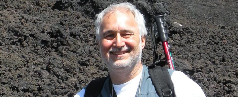
Scanning the earth’s surface to check for volcanic changes will improve volcano early warning systems when combined with ground-based measurements, according to Dr Giuseppe Puglisi, of Italy’s National Institute of Geophysics and Volcanology. Dr Puglisi manages the EU-funded MED-SUV research consortium which brings together monitoring techniques so that it can warn decision-makers when there’s a hightened risk of an eruption.
Satellites can enhance volcano eruption warnings, according to Dr Giuseppe Puglisi, the scientific contact person for the EU-funded MED-SUV research consortium.
How do you assess the risk of a major eruption from Mount Etna, the Phlegrean Fields and Vesuvius?
‘We prefer to talk about volcanic hazard, as the term “risk” implies economic evaluation too, which is not in the volcanological researchers’ field. Our aim is to assess the hazards over the long term to help the planning of human activities in these areas, and also in the short term to plan civil protection measures. In the framework of the MED-SUV project, volcanic hazards will be assessed by using a very advanced probabilistic or statistical approach that has also applied in the case of other volcanoes. For this purpose, the knowledge of the geological evolution of these areas will be integrated with information collected by the currently available volcano monitoring systems.’
‘They have the biggest volcanic risk in Europe. If you consider that there are about two million people living around Naples – so around Vesuvius and Campi Flegrei (the Phlegrean Fields) – the scale of impact of volcanic hazards in this area is clear. We therefore aim to improve the knowledge of the processes occurring in these volcanic areas and also at Mount Etna. The project also involves the Italian Civil Protection Department to assess procedures for improving the awareness of volcanic risks posed by these volcanoes.’
What kind of timescales are you looking at?
‘For the long term, we are looking at decades or hundreds of years. For the short term, we are talking about days to months because the changes in volcanic activity, for example at Mount Etna, can be very rapid. Our aim is to process data from the very advanced monitoring systems there are at these volcanoes. This will allow assessment of volcanic hazards in time periods such as an hour or two hours. I cannot yet say if we will reach the stage of updating hourly the probability of a volcanic event occurrence, but the MED-SUV focus is to assess it as frequently as possible.’
What do you hope to achieve?
‘We want to improve understanding of these sites through integrating ground-based and satellite-based monitoring systems, and by distributing and disseminating data available for these Supersites and the project findings. We also aim to improve the knowledge of volcanic processes in general. And we expect an improvement in preparedness and general awareness of the volcanic hazards in these areas.’
‘Integration between satellite and ground-based measurements can help us to develop new kinds of information we are currently missing.’
How are you developing the monitoring systems to improve our knowledge of these sites?
‘Integration between satellite and ground-based measurements can help us to develop new kinds of information we are currently missing, and to improve our knowledge of physical processes. For instance, radar interferometry (measurements using waves) can give us synoptic measurements of the deformation of the crust along a line-of-sight of the satellite; whilst techniques like GPS (Global Positioning System) provide 3D deformation at some ground-based fixed points. In in-situ (ground-based) measurements, we also use devices such as tiltmeters or strainmeters. Integrating all this can help us to develop new systems giving updated information about synoptic 3D ground deformations. The integration of satellite and ground-based collected data can also be used, for example, to improve retrieval of SO2 (sulphur dioxide) emissions from craters and temperature anomalies.’
What is the relevance of your project for other EU Member States?
‘As a whole, the combination of satellite and ground-based techniques, as well as all the results achieved by the MED-SUV project, will have implications for other European volcanoes, such as those foreseen in the project pilot phase, i.e. Piton de la Fournaise (in the French Réunion island) and Azores (in Portugal).’
How do the hazards differ between the Phlegrean Fields and Vesuvius region, and Mount Etna?

