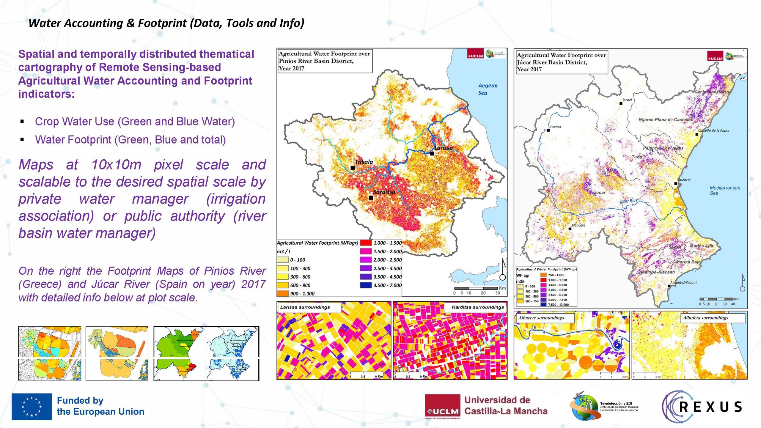
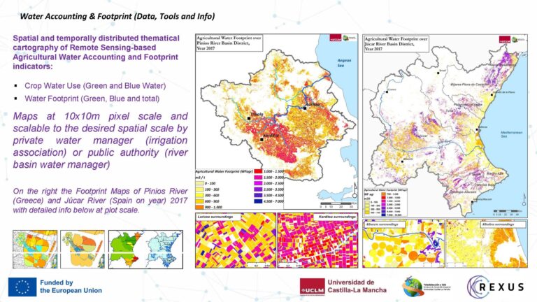
The Remote Sensing assisted water accounting is used at different geographic scales. At farm level, water user association and large scale as river basin level. Maps are provided for water management with realistic data and can be combined with meteorological variables in future weather scenarios to estimate water demand. It can be used to estimate and map non-authorized water use.
 Adaptation to climate change
 Oceans, seas and waters
 Soil health and food
Addressing target audiences and expressing needs
- Help in technical expertise
- Collaboration
- Fellowship to advance my/our research
Data and experience for validation in other pilot areas.
- Public or private funding institutions
- Academia/ Universities
R&D, Technology and Innovation aspects
The Accounting Model has been applied in Júcar River Basin (Spain) and Pinios River (Greece) in 2017. In Spain has been validated and in Greece is under validation.
As the main input are the Sentinel 2 time-series images, this result can be applied where the atmospheric conditions allow having enough data.
This model does not depend on a unique satellite platform, can be used with different platforms with multispectral data (ej. Landsat, etc..). It is sustainable taking into account the increasing number of this type of mission and the interest of high temporal and spatial resolution data.
- Global